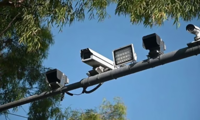
Punjab has introduced a drone-based monitoring system to track rivers, barrages, and headworks in real time, improving flood forecasting and emergency response.
Punjab Launches Drone Monitoring System for Flood Management
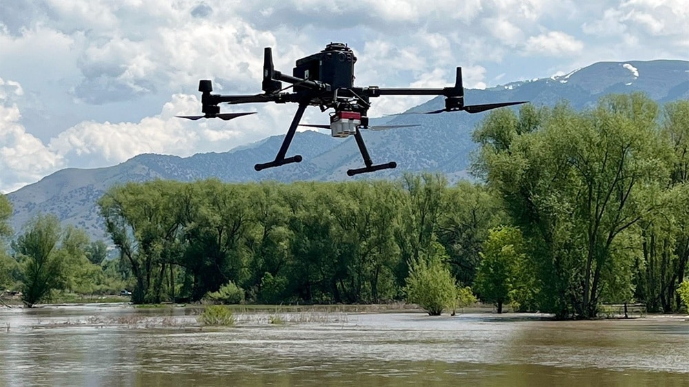
The Punjab government has launched a drone monitoring system for rivers, barrages, and headworks to strengthen flood preparedness and improve disaster management during the monsoon season. The initiative uses advanced drone technology to provide real-time aerial surveillance of water bodies, enabling authorities to monitor changing conditions and respond more effectively to potential flood threats.
The Punjab drone monitoring system has been introduced to enhance the province’s early warning capabilities by providing continuous aerial assessments of river flows, water levels, and critical flood-control infrastructure. The technology allows officials to identify vulnerable areas quickly and make informed decisions before flood conditions worsen.
Through high-resolution aerial imaging and live data transmission, drones will monitor rivers, barrages, embankments, and headworks across Punjab. The collected information will help disaster management teams detect unusual water movement, identify structural risks, and coordinate emergency operations more efficiently.
Officials believe the drone surveillance system will significantly improve response times during heavy rainfall and flash flood situations. Real-time monitoring enables authorities to issue timely alerts, deploy emergency resources, and implement preventive measures to reduce risks to nearby communities.
The initiative also supports the Punjab government’s broader strategy of integrating digital technologies into public administration and disaster management. By utilizing drones for environmental monitoring and flood surveillance, authorities aim to improve operational efficiency while reducing reliance on manual inspections in hazardous conditions.
Experts say drone technology has become an essential tool for modern disaster management worldwide due to its ability to provide accurate aerial data, reach inaccessible locations, and support rapid emergency assessments. The deployment of drones for flood monitoring is expected to improve coordination among rescue agencies and strengthen Punjab’s overall emergency response framework.
As climate change continues to increase the frequency of extreme weather events, investments in technology-driven disaster preparedness have become increasingly important. The Punjab drone monitoring system represents a proactive step toward protecting lives, safeguarding infrastructure, and improving resilience against future floods.
With real-time surveillance, faster decision-making, and enhanced emergency planning, the new drone monitoring initiative is expected to play a vital role in strengthening Punjab’s flood management capabilities throughout the monsoon season and beyond.